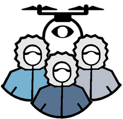
Arctic Crowd-sourcing
Enhancing Satellite-based Remote Sensing Northern services by enabling Arctic community-based Drone operators to contribute high resolution time sensitive data to boost these services.
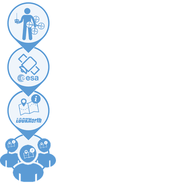
This project is the result of a Earth Observation(EO) for Science European Space Agency (ESA) proposal. The proposed development is to create enhanced Earth Observations (EO) services for Arctic applications planned for C-CORE’s Coresight Platform to include community/crowd sourced very high resolution drone data and other forms of field data that support Arctic stakeholder needs. Coresight is an EO value adding services platform, created in a similar but complementary vein to the ESA Thematic Exploitation Platforms, to deliver EO-based services to clients.

Arctic Communities due to their remote geographic nature often have limited network connectivity and as such make it challenging to transport large files. This project seeks to find ways to optimize the uploading of large drone files over distance.

Once drone data is retrieved from contributors it needs to be processed stored in a centralized searchable storage database.

The stored data is then incorporated into existing satellite-based services to enhance the fidelity and timeliness of the service.
Entice community members to capture river ice break up and freeze up activity to better ascertain flood risk or other geo-hazards associated with river ice.
Combine near real-time satellite data with quick response community based drone data to aid search and rescue or emergency responders
During the execution of this project we are open to new ideas that may come based on community interactions such as caribou monitoring, or other suggested services.
Monitor FloeEdge to better understand the ability to safely travel on sea ice as well as provide ship navigation information. If you do not have an account click on continue as guest.

Leverage drone information to get high resolution, as well as Digital Elevation Models (DEM) to quantify ground movement during thawing seasons.
Create requests for community members to monitor water areas of interest based on satellite water quality analysis.
The participants listed include stakeholders, service providers and sponsors of this project.